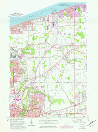
1963 Map of Avon
USGS Topo · Published 1979About this map
Lake Erie defines the northern edge of this Ohio landscape, where the communities of Sheffield Lake and Avon Lake meet the shoreline. Moving inland, the 1963 survey (with 1970s revisions) shows a region transitioning from its agricultural roots toward suburban density. The path of the Black River and French Creek cross the western portion of the map, while the prominent North Ridge cuts across the center, a geological feature that historically guided road placement like Detroit Road. The map documents numerous educational and religious centers, such as St Teresa Ch and Brookside High Sch, which anchored these growing neighborhoods. Transportation infrastructure is a central theme, from the long-established Norfolk and Western tracks to the modern corridor of the Ohio Turnpike slicing through the southern edge near Elyria and North Ridgeville.
Find a feature on this map
60 named features on this map. Tap any name to fly to it.
Don’t see what you’re looking for? This feature index may not catch every label — zoom into the map to look around manually.
Map Details
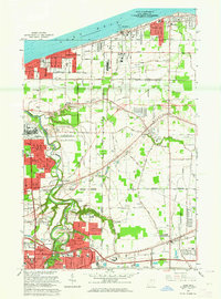
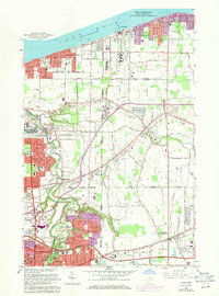
Editions of this 1963 Avon Map
3 editions found
Other maps of this area

1901 · Oberlin
USGS Topo · 1:62,500

1902 · Berea
USGS Topo · 1:62,500

1903 · Oberlin
USGS Topo · 1:62,500

1904 · Berea
USGS Topo · 1:62,500

1950 · Cleveland
USGS Topo · 1:250,000

1953 · West View
USGS Topo · 1:24,000

1953 · Grafton
USGS Topo · 1:24,000

1953 · Avon
USGS Topo · 1:24,000
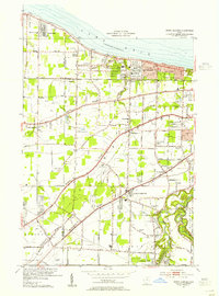
1953 · North Olmsted
USGS Topo · 1:24,000

1956 · Cleveland
USGS Topo · 1:250,000