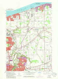
1963 Map of Avon
USGS Topo · Published 1971About this map
The southern shores of Lake Erie and the interior ridges of Lorain County are captured in this 1963 survey, reflecting a period of significant suburban expansion between Lorain and Avon Lake. The landscape is defined by the glacial geography of North Ridge and Stony Ridge, which served as natural corridors for early transport, now followed by modern thoroughfares like Detroit Road. The industrial and logistics footprint is evident in the sprawling rail infrastructure of the Norfolk and Western and Penn Central, alongside the cutting path of the Ohio Toll Road.
Find a feature on this map
69 named features on this map. Tap any name to fly to it.
Don’t see what you’re looking for? This feature index may not catch every label — zoom into the map to look around manually.
Map Details
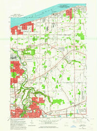
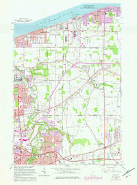
Editions of this 1963 Avon Map
3 editions found
Other maps of this area

1901 · Oberlin
USGS Topo · 1:62,500

1902 · Berea
USGS Topo · 1:62,500

1903 · Oberlin
USGS Topo · 1:62,500

1904 · Berea
USGS Topo · 1:62,500

1950 · Cleveland
USGS Topo · 1:250,000

1953 · West View
USGS Topo · 1:24,000

1953 · Grafton
USGS Topo · 1:24,000

1953 · Avon
USGS Topo · 1:24,000
1953 · North Olmsted
USGS Topo · 1:24,000

1956 · Cleveland
USGS Topo · 1:250,000