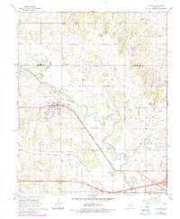
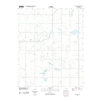
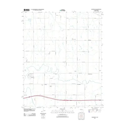
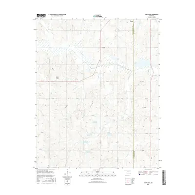
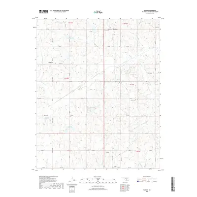
1967 Map of Aydelotte
USGS Topo · Published 1979About this map
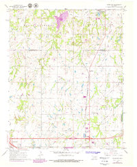
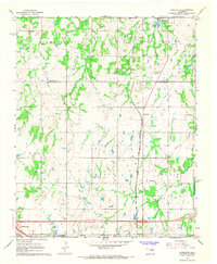
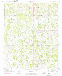
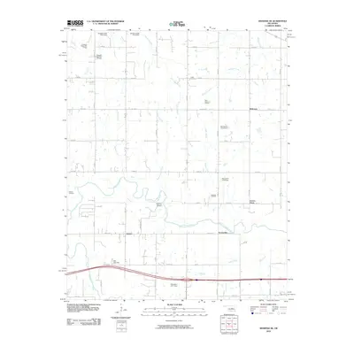
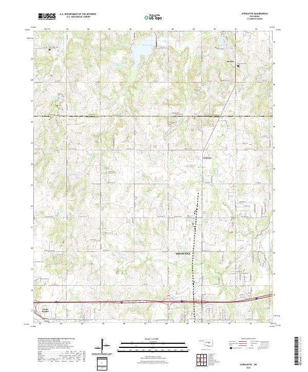
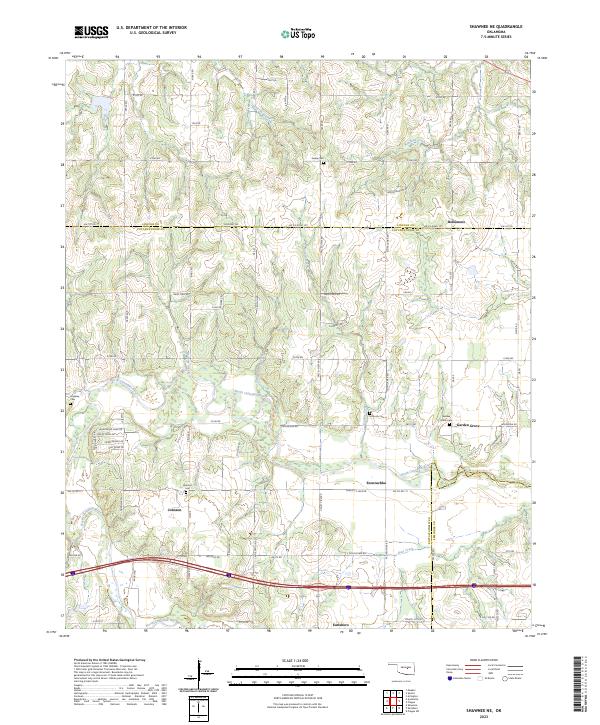
Meeker and the community of Aydelotte sit at a transition point where the landscape begins to descend toward the Canadian River valley. This 1960s survey, with updates from the late 1970s, documents a rural corridor defined by its drainage basins, including South Quapaw Creek and Green Creek. The map shows a region of steady agricultural activity interspersed with industrial extraction, noted by several Quarries and a Gravel Pit. Local life and history are anchored by landmarks like the North Rock Creek Sch and multiple burial grounds such as New Salem Cem and New Hope Cem. The southern edge reveals the expanding Shawnee Corporate Boundary, reflecting the growth of residential pockets like Clarks Heights near the major transit lines. Traces of the older infrastructure remain visible in the Shawnee Grade railroad bed that once moved goods through this part of Pottawatomie County.
Find a feature on this map
33 named features on this map. Tap any name to fly to it.
Don’t see what you’re looking for? This feature index may not catch every label — zoom into the map to look around manually.
Map Details
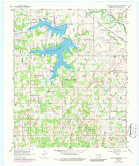
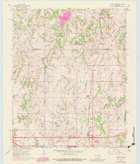
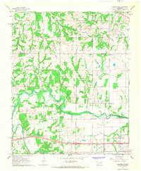
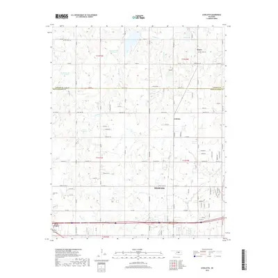
Editions of this 1967 Aydelotte Map
3 editions found
Historical Maps of Shawnee Through Time
31 maps found
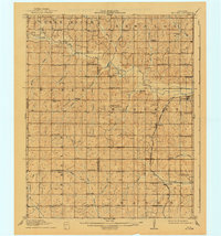
1910 McComb
Pottawatomie County, OK
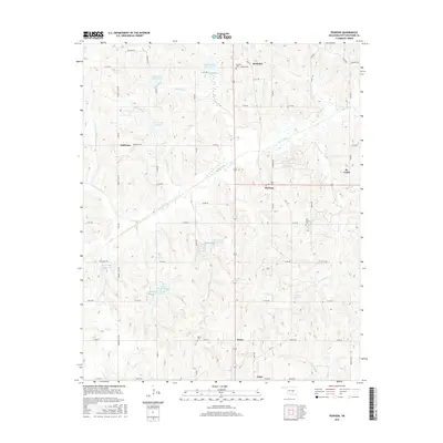
1958 Pearson
Pottawatomie County, OK
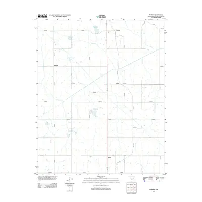
1966 Mc Loud
Pottawatomie County, OK
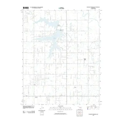
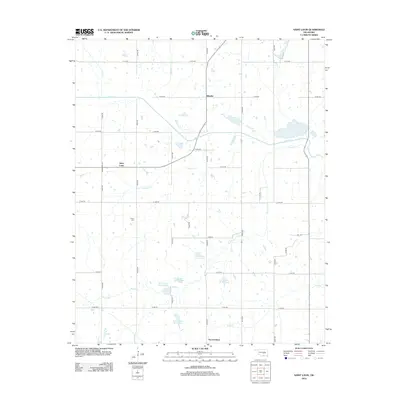
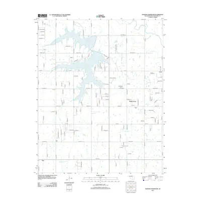
1966 Shawnee Reservoir
Pottawatomie County, OK
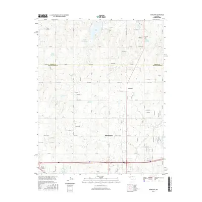
1967 Aydelotte
Pottawatomie County, OK
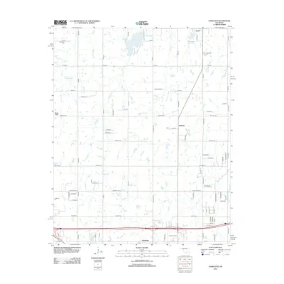
1967 Shawnee NE
Pottawatomie County, OK
2009 Saint Louis
Pottawatomie County, OK
2009 Shawnee Reservoir
Pottawatomie County, OK
2010 Aydelotte
Pottawatomie County, OK
2010 Pearson
Pottawatomie County, OK
2010 Shawnee NE
Pottawatomie County, OK
2012 Aydelotte
Pottawatomie County, OK
2012 Pearson
Pottawatomie County, OK
2012 Saint Louis
Pottawatomie County, OK
2012 Shawnee NE
Pottawatomie County, OK
2012 Shawnee Reservoir
Pottawatomie County, OK
2016 Aydelotte
Pottawatomie County, OK
2016 Pearson
Pottawatomie County, OK
2016 Saint Louis
Pottawatomie County, OK
2016 Shawnee NE
Pottawatomie County, OK
2016 Shawnee Reservoir
Pottawatomie County, OK
2018 Aydelotte
Pottawatomie County, OK
2018 Pearson
Pottawatomie County, OK
2018 Saint Louis
Pottawatomie County, OK
2018 Shawnee NE
Pottawatomie County, OK
2018 Shawnee Reservoir
Pottawatomie County, OK
2022 Aydelotte
Pottawatomie County, OK
2022 Pearson
Pottawatomie County, OK
2022 Saint Louis
Pottawatomie County, OK
2022 Shawnee Reservoir
Pottawatomie County, OK
2023 Shawnee NE
Pottawatomie County, OK