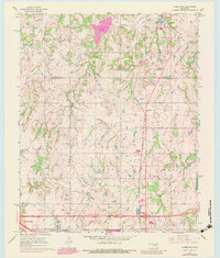
1967 Map of Aydelotte
USGS Topo · Published 1983About this map
The boundary between Lincoln and Pottawatomie counties bisects this Central Oklahoma landscape, where the northern town of Meeker and the southern settlement of Aydelotte anchor the community. The map reveals a transition from the agricultural plains of Bales and Davis into the suburban expansion around Clarks Heights. Industrial and infrastructure development is evident through the path of the Shawnee Grade railroad and several Pipeline corridors crossing the terrain.
Find a feature on this map
30 named features on this map. Tap any name to fly to it.
Don’t see what you’re looking for? This feature index may not catch every label — zoom into the map to look around manually.
Map Details
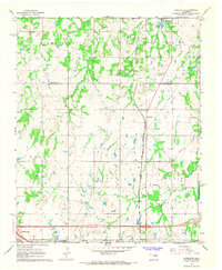
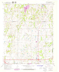
Editions of this 1967 Aydelotte Map
3 editions found
Other maps of this area

1896 · Seminole and Prague
USGS Topo · 1:125,000

1898 · Purcell
USGS Topo · 1:125,000

1905 · Chandler
USGS Topo · 1:62,500

1907 · Chandler
USGS Topo · 1:62,500

1909 · Shawnee
USGS Topo · 1:62,500

1909 · Luther
USGS Topo · 1:62,500

1930 · McLoud
USGS Topo · 1:62,500

1954 · Oklahoma City
USGS Topo · 1:250,000

1957 · Oklahoma City
USGS Topo · 1:250,000

1963 · Oklahoma City
USGS Topo · 1:250,000