
1904 Map of Ayden
USGS Topo · Published 1904About this map
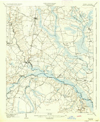
Neuse River navigation and early rail development define the landscape of eastern North Carolina at the turn of the century. The river corridor is a hub of transit, marked by numerous steamboat landings such as Jollys Old Field Ldg. and Bectons Old Field Landing, which served as vital connection points before the full expansion of the interior road network. Further north, the Atlantic Coast Line and the Kinston Branch rail lines support growing trade centers like Ayden and Grifton.
Find a feature on this map
69 named features on this map. Tap any name to fly to it.
Don’t see what you’re looking for? This feature index may not catch every label — zoom into the map to look around manually.
Map Details
Editions of this 1904 Ayden Map
4 editions found
Other maps of this area

1901 · New Bern
USGS Topo · 1:62,500

1902 · Ayden
USGS Topo · 1:62,500

1902 · Vanceboro
USGS Topo · 1:62,500

1903 · New Bern
USGS Topo · 1:62,500

1903 · Winterville
USGS Topo · 1:62,500

1903 · Trent River
USGS Topo · 1:62,500

1903 · Chocowinity
USGS Topo · 1:62,500

1904 · Trent River
USGS Topo · 1:62,500

1904 · Falkland
USGS Topo · 1:62,500

1904 · Vanceboro
USGS Topo · 1:62,500