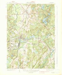
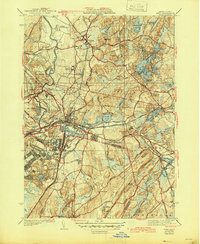
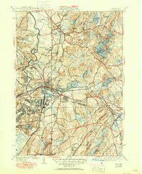
1939 Map of Ayer
USGS Topo · Published 1939About this map
Fort Devens dominates the western landscape of this Middlesex County area, bordering the busy rail hub of Ayer. During the late 1930s, this region was a complex mix of military installations, academic institutions, and quiet agricultural life. To the north, the Groton School and its nearby Groton School Pond sit just outside the main Groton settlement, while the center of the sheet reveals a series of large water bodies including Knops Pond and Sandy Pond.
Find a feature on this map
105 named features on this map. Tap any name to fly to it.
Don’t see what you’re looking for? This feature index may not catch every label — zoom into the map to look around manually.
Map Details
Editions of this 1939 Ayer Map
6 editions found
Other maps of this area

1886 · Lowell
USGS Topo · 1:62,500

1886 · Framingham
USGS Topo · 1:62,500

1887 · Marlboro
USGS Topo · 1:62,500

1889 · Marlboro
USGS Topo · 1:62,500

1889 · Framingham
USGS Topo · 1:62,500

1893 · Lowell
USGS Topo · 1:62,500

1893 · Groton
USGS Topo · 1:62,500

1894 · Framingham
USGS Topo · 1:62,500

1896 · Marlboro
USGS Topo · 1:62,500

1898 · Marlboro
USGS Topo · 1:62,500