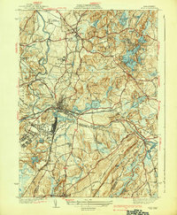
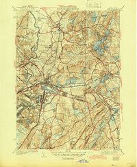
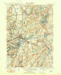
1939 Map of Ayer
USGS Topo · Published 1939About this map
Fort Devens occupies a significant portion of the landscape southwest of Ayer, reflecting the military's growing footprint in the years leading up to World War II. The terrain is characterized by a dense network of water bodies and glacial features, including Sandy Pond, Spectacle Pond, and the Nashua River. In the northern portion of the quadrangle, Groton maintains its institutional and social character with the Groton School, the Groton Cemetery, and the Groton Fair Grounds positioned along its primary thoroughfares.
Find a feature on this map
93 named features on this map. Tap any name to fly to it.
Don’t see what you’re looking for? This feature index may not catch every label — zoom into the map to look around manually.
Map Details
Editions of this 1939 Ayer Map
6 editions found
Other maps of this area

1886 · Lowell
USGS Topo · 1:62,500

1886 · Framingham
USGS Topo · 1:62,500

1887 · Marlboro
USGS Topo · 1:62,500

1889 · Marlboro
USGS Topo · 1:62,500

1889 · Framingham
USGS Topo · 1:62,500

1893 · Lowell
USGS Topo · 1:62,500

1893 · Groton
USGS Topo · 1:62,500

1894 · Framingham
USGS Topo · 1:62,500

1896 · Marlboro
USGS Topo · 1:62,500

1898 · Marlboro
USGS Topo · 1:62,500