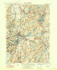
1939 Map of Ayer
USGS Topo · Published 1951About this map
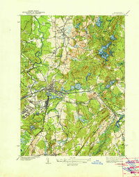
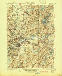
Fort Devens dominates the central landscape of this mid-century survey, its expansive military reservation and airport adjacent to the busy rail hub of Ayer. The map reveals a sophisticated network of academic and scientific institutions, from the prominent Groton School and Lawrence Academy to the Harvard University Observatory positioned on the southern heights near Whitney Hill.
Find a feature on this map
103 named features on this map. Tap any name to fly to it.
Don’t see what you’re looking for? This feature index may not catch every label — zoom into the map to look around manually.
Map Details
Editions of this 1939 Ayer Map
6 editions found
Other maps of this area

1886 · Lowell
USGS Topo · 1:62,500

1886 · Framingham
USGS Topo · 1:62,500

1887 · Marlboro
USGS Topo · 1:62,500

1889 · Marlboro
USGS Topo · 1:62,500

1889 · Framingham
USGS Topo · 1:62,500

1893 · Lowell
USGS Topo · 1:62,500

1893 · Groton
USGS Topo · 1:62,500

1894 · Framingham
USGS Topo · 1:62,500

1896 · Marlboro
USGS Topo · 1:62,500

1898 · Marlboro
USGS Topo · 1:62,500