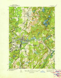
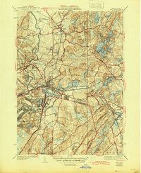
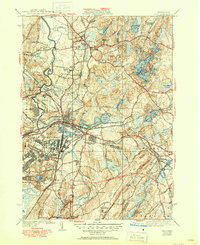
1939 Map of Ayer
USGS Topo · Published 1939About this map
Fort Devens occupies a significant portion of the landscape south of the Nashua River, showing the military installation as it appeared in the late 1930s. The town of Ayer serves as a central hub, where several lines of the Boston and Maine Railroad converge near Plow Shop Pond and Flannagan Pond. This rail network highlights the area’s industrial and transit importance, connecting the village of West Groton and Squannacook Junction to the broader region.
Find a feature on this map
87 named features on this map. Tap any name to fly to it.
Don’t see what you’re looking for? This feature index may not catch every label — zoom into the map to look around manually.
Map Details
Editions of this 1939 Ayer Map
6 editions found
Other maps of this area

1886 · Lowell
USGS Topo · 1:62,500

1886 · Framingham
USGS Topo · 1:62,500

1887 · Marlboro
USGS Topo · 1:62,500

1889 · Marlboro
USGS Topo · 1:62,500

1889 · Framingham
USGS Topo · 1:62,500

1893 · Lowell
USGS Topo · 1:62,500

1893 · Groton
USGS Topo · 1:62,500

1894 · Framingham
USGS Topo · 1:62,500

1896 · Marlboro
USGS Topo · 1:62,500

1898 · Marlboro
USGS Topo · 1:62,500