
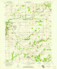
1957 Map of Azalia
USGS Topo · Published 1958About this map
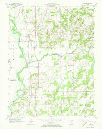
The East Fork White River defines the western landscape of this mid-century survey, where the river's winding course creates a complex boundary between Bartholomew, Jackson, and Jennings counties. Small agricultural communities such as Azalia and Reddington serve as local hubs, connected by a transit network that includes the Chicago Milwaukee St Paul and Pacific and Pennsylvania railroads. This era's infrastructure is further noted by a Pumping Station and several rural education and religious centers, including the Township Sch and the Friends Meetinghouse.
Find a feature on this map
32 named features on this map. Tap any name to fly to it.
Don’t see what you’re looking for? This feature index may not catch every label — zoom into the map to look around manually.
Map Details
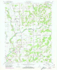
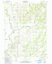
Editions of this 1957 Azalia Map
4 editions found
Other maps of this area

1942 · Columbus
USGS Topo · 1:125,000

1953 · Cincinnati
USGS Topo · 1:250,000

1956 · Louisville
USGS Topo · 1:250,000

1957 · Cincinnati
USGS Topo · 1:250,000

1957 · Jonesville
USGS Topo · 1:24,000

1957 · North Vernon
USGS Topo · 1:24,000
1958 · Columbus
USGS Topo · 1:24,000

1958 · Grammer
USGS Topo · 1:24,000
1958 · Elizabethtown
USGS Topo · 1:24,000

1958 · Seymour
USGS Topo · 1:24,000