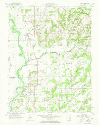
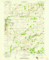
1957 Map of Azalia
USGS Topo · Published 1973About this map
Azalia and Reddington anchor this mid-century landscape where the East Fork White River and Sand Creek converge at the borders of Bartholomew, Jackson, and Jennings counties. The map details a rural landscape defined by community landmarks, including the Friends Meetinghouse, Wilson Chapel, and Township Sch. These structures, alongside several family and community burial grounds like Rock Creek Cem and Glasson Cem, provide essential data for local genealogy and history.
Find a feature on this map
32 named features on this map. Tap any name to fly to it.
Don’t see what you’re looking for? This feature index may not catch every label — zoom into the map to look around manually.
Map Details
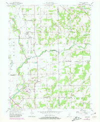
Editions of this 1957 Azalia Map
4 editions found
Other maps of this area

1942 · Columbus
USGS Topo · 1:125,000

1953 · Cincinnati
USGS Topo · 1:250,000

1956 · Louisville
USGS Topo · 1:250,000

1957 · Cincinnati
USGS Topo · 1:250,000

1957 · Jonesville
USGS Topo · 1:24,000

1957 · Azalia
USGS Topo · 1:24,000

1957 · North Vernon
USGS Topo · 1:24,000
1958 · Columbus
USGS Topo · 1:24,000

1958 · Grammer
USGS Topo · 1:24,000
1958 · Elizabethtown
USGS Topo · 1:24,000