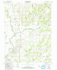
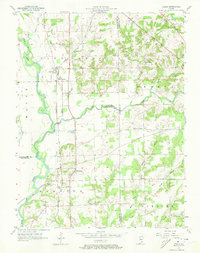
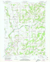
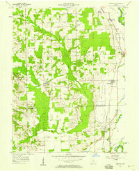
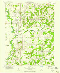
1957 Map of Azalia
USGS Topo · Published 1993About this map
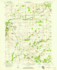
Azalia and Reddington anchor this 1957 survey of the rural landscape where Bartholomew, Jackson, and Jennings counties meet. The area is defined by the broad meandering of the East Fork White River and its many tributaries, including Sand Creek, Rock Creek, and Mutton Creek. This map documents a deeply established farming community, evidenced by several country churches like the Friends Meetinghouse and Wilson Chapel, alongside local landmarks such as Township Sch.
Find a feature on this map
29 named features on this map. Tap any name to fly to it.
Don’t see what you’re looking for? This feature index may not catch every label — zoom into the map to look around manually.
Map Details
Editions of this 1957 Azalia Map
4 editions found
Other maps of this area

1942 · Columbus
USGS Topo · 1:125,000

1953 · Cincinnati
USGS Topo · 1:250,000

1956 · Louisville
USGS Topo · 1:250,000

1957 · Cincinnati
USGS Topo · 1:250,000
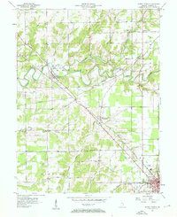
1957 · Jonesville
USGS Topo · 1:24,000
1957 · Azalia
USGS Topo · 1:24,000
1957 · North Vernon
USGS Topo · 1:24,000
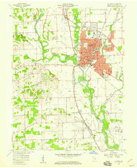
1958 · Columbus
USGS Topo · 1:24,000
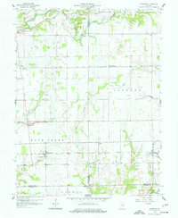
1958 · Grammer
USGS Topo · 1:24,000
1958 · Elizabethtown
USGS Topo · 1:24,000