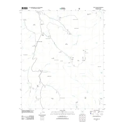
2011 Map of Aztec Peak
USGS Topo · Published 2011About this map
Aztec Peak dominates this Gila County landscape, marking a rugged high point in a region defined by recreational lodges and deep-rooted ranching operations. The map documents a concentration of mid-century and modern social hubs, including the Rose Creek Lodge, Aztec Lodge, and a YMCA Camp. These settlements are linked by the Globe-Young Hwy Scn, which winds through complex canyon terrain including Sand Tank Canyon and past prominent landmarks like Asbestos Point. Numerous family-named sites such as Armer Ranch, Peterson Ranch, and Haldi Ranch indicate a long history of land use. The drainage systems of Reynolds Creek and Workman Creek, the latter featuring Workman Creek Falls, serve as the primary corridors for a network of trails and campgrounds like Cascade Campground and Falls Campground.
Find a feature on this map
71 named features on this map. Tap any name to fly to it.
Don’t see what you’re looking for? This feature index may not catch every label — zoom into the map to look around manually.
Map Details
Editions of this 2011 Aztec Peak Map
This is the sole edition of this map. No revisions or reprints were ever made.
Other maps of this area

1907 · Roosevelt
USGS Topo · 1:125,000

1909 · Four Peaks
USGS Topo · 1:125,000

1912 · Roosevelt
USGS Topo · 1:125,000

1922 · Chrysotile
USGS Topo · 1:125,000

1949 · McFadden Peak
USGS Topo · 1:62,500

1949 · Rockinstraw Mtn
USGS Topo · 1:62,500

1950 · Rockinstraw Mtn
USGS Topo · 1:62,500

1950 · McFadden Peak
USGS Topo · 1:62,500

1954 · Mesa
USGS Topo · 1:250,000

1957 · Mesa
USGS Topo · 1:250,000