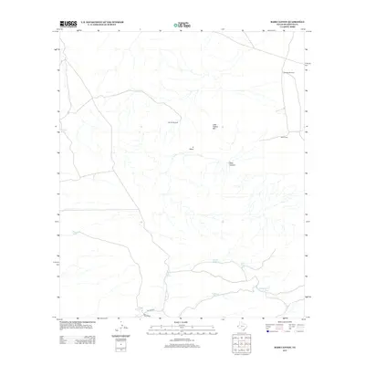
2013 Map of Babb Canyon
USGS Topo · Published 2013About this map
Water management dominates this arid West Texas landscape, where life revolves around isolated ranching infrastructure. Babb Camp stands as the primary human settlement in this sector of Hudspeth County, situated near the head of Babb Canyon. The topography is defined by the sharp rise of Little Flattop Mtn and the broad profile of the S Mesa, landforms that dictate the placement of essential water resources. A network of windmills and tanks, including the Salt Flat Windmill, Little Babb Windmill, and McAdoo Tank, provides the necessary hydration for livestock in a region where natural surface water is scarce. Genealogists and local historians can trace the family-named features like Kuykendall Tank, Owens Tank, and Patterson Tank, which indicate the long-standing grazing rights and land stewardship of the area's ranching families. Access remains limited to primitive routes such as Big Tank Rd, illustrating the persistence of a traditional way of life into the early twenty-first century.
Find a feature on this map
14 named features on this map. Tap any name to fly to it.
Don’t see what you’re looking for? This feature index may not catch every label — zoom into the map to look around manually.
Map Details
Editions of this 2013 Babb Canyon Map
This is the sole edition of this map. No revisions or reprints were ever made.
Other maps of this area

1895 · Sierra Blanca
USGS Topo · 1:125,000

1906 · Van Horn
USGS Topo · 1:125,000

1954 · Van Horn
USGS Topo · 1:250,000

1955 · Black Mountains
USGS Topo · 1:62,500

1958 · Van Horn
USGS Topo · 1:250,000

1973 · Bitter Well Mountain NW
USGS Topo · 1:24,000

1973 · Norton Mesa
USGS Topo · 1:24,000

1973 · Bitter Well Mountain SW
USGS Topo · 1:24,000

1973 · Sneed Mountain NE
USGS Topo · 1:24,000

1973 · Apache Peak
USGS Topo · 1:24,000