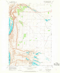
1966 Map of Babcock Ridge
USGS Topo · Published 1968About this map
Babcock Bench and the dramatic basalt cliffs overlooking the Columbia River dominate this mid-century landscape in Grant County. The area reflects a complex water management and industrial network, featuring a massive siphon system, the Babcock Pumping Sta, and the Evergreen Reservoir. The Great Northern railroad skirts the northern edge of the map near the settlement of Trinidad, while the arid coulee terrain to the south is dotted with a chain of small water bodies including Ancient Lake, Judith Pool, and Dusty Lake. This 1966 field-checked survey highlights the contrast between the recreational development at Crescent Bar Recreation Area and the industrial activity indicated by the Industrial Waste Ponds and a nearby mine, capturing the region as it balanced natural resource management with emerging leisure sites.
Find a feature on this map
36 named features on this map. Tap any name to fly to it.
Don’t see what you’re looking for? This feature index may not catch every label — zoom into the map to look around manually.
Map Details
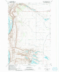
Editions of this 1966 Babcock Ridge Map
2 editions found
Other maps of this area

1909 · Quincy
USGS Topo · 1:62,500

1910 · Quincy
USGS Topo · 1:62,500

1912 · Malaga
USGS Topo · 1:48,000

1914 · Malaga
USGS Topo · 1:62,500

1920 · Colockum Pass
USGS Topo · 1:125,000

1922 · Colockum Pass
USGS Topo · 1:125,000

1953 · Ritzville
USGS Topo · 1:250,000

1957 · Wenatchee
USGS Topo · 1:250,000

1959 · Ritzville
USGS Topo · 1:250,000

1965 · Ritzville
USGS Topo · 1:250,000