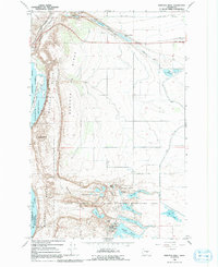
1966 Map of Babcock Ridge
USGS Topo · Published 1992About this map
Ancient Lake and the complex drainage of Potholes Coulee dominate this mid-century landscape in Grant County. The topography reveals a highly engineered water management system vital to the Columbia Basin Project, featuring the Aqueduct, a Siphon, and the Babcock Pumping Sta. These facilities directed water through Babcock Ridge to support regional agriculture and the Evergreen Reservoir.
Find a feature on this map
44 named features on this map. Tap any name to fly to it.
Don’t see what you’re looking for? This feature index may not catch every label — zoom into the map to look around manually.
Map Details
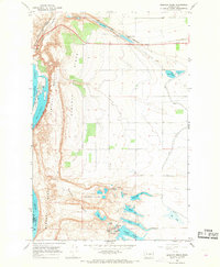
Editions of this 1966 Babcock Ridge Map
2 editions found
Other maps of this area

1909 · Quincy
USGS Topo · 1:62,500

1910 · Quincy
USGS Topo · 1:62,500

1912 · Malaga
USGS Topo · 1:48,000

1914 · Malaga
USGS Topo · 1:62,500

1920 · Colockum Pass
USGS Topo · 1:125,000

1922 · Colockum Pass
USGS Topo · 1:125,000

1953 · Ritzville
USGS Topo · 1:250,000

1957 · Wenatchee
USGS Topo · 1:250,000

1959 · Ritzville
USGS Topo · 1:250,000

1965 · Ritzville
USGS Topo · 1:250,000