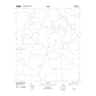
2011 Map of Baden
USGS Topo · Published 2011About this map
Baden sits at the center of this Georgia-Florida borderland, a landscape defined by its small farming settlements and winding waterways. The terrain is marked by the slow passage of Piscola Creek and Pine Branch, which feed into local landmarks like Denmark Lake and Childers Pond. A distinctive Lookout Tower stands atop Catledge Hill, overlooking a network of rural roads such as Knights Ferry Rd and Old Madison Rd. This 2011 survey reveals a deeply established social geography, where family and community history is preserved in several rural burial grounds, including the Worn Cemetery, Union Cemetery, and Johson Cemetery. To the south, the settlement of Empress and the community of Lovett anchor the lower portion of the quadrangle near the Florida line, connected by a grid of county highways and local routes like Blalock Rd and Wheeler Rd.
Find a feature on this map
50 named features on this map. Tap any name to fly to it.
Don’t see what you’re looking for? This feature index may not catch every label — zoom into the map to look around manually.
Map Details
Editions of this 2011 Baden Map
This is the sole edition of this map. No revisions or reprints were ever made.
Other maps of this area

1954 · Valdosta
USGS Topo · 1:250,000

1956 · Grooverville
USGS Topo · 1:24,000

1956 · Nankin
USGS Topo · 1:24,000

1956 · Baden
USGS Topo · 1:24,000

1958 · Valdosta
USGS Topo · 1:250,000

1959 · Valdosta
USGS Topo · 1:250,000

1960 · Cherry Lake
USGS Topo · 1:24,000

1961 · Quitman
USGS Topo · 1:62,500

1961 · Ousley
USGS Topo · 1:24,000

1962 · Ashville
USGS Topo · 1:24,000