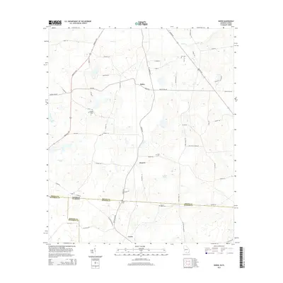
2014 Map of Baden
USGS Topo · Published 2014About this map
Baden and Empress anchor the agricultural landscape of Brooks County, Georgia, just north of the Florida state line. The terrain here is defined by low-lying wetlands and drainage patterns including Piscola Cr and Pine Br, which feed into local water bodies like Stanley Bay and Denmark Lake. A network of rural roads, such as Greenville Hwy and Madison Hwy, connects these small communities to the surrounding timberlands and farms.
Find a feature on this map
62 named features on this map. Tap any name to fly to it.
Don’t see what you’re looking for? This feature index may not catch every label — zoom into the map to look around manually.
Map Details
Editions of this 2014 Baden Map
This is the sole edition of this map. No revisions or reprints were ever made.
Other maps of this area

1954 · Valdosta
USGS Topo · 1:250,000

1956 · Grooverville
USGS Topo · 1:24,000

1956 · Nankin
USGS Topo · 1:24,000

1956 · Baden
USGS Topo · 1:24,000

1958 · Valdosta
USGS Topo · 1:250,000

1959 · Valdosta
USGS Topo · 1:250,000

1960 · Cherry Lake
USGS Topo · 1:24,000

1961 · Quitman
USGS Topo · 1:62,500

1961 · Ousley
USGS Topo · 1:24,000

1962 · Ashville
USGS Topo · 1:24,000