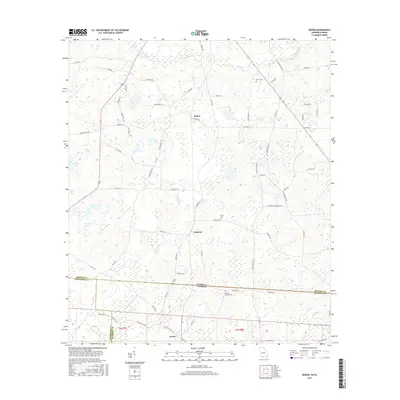
2017 Map of Baden
USGS Topo · Published 2017About this map
The borderland between Brooks County, Georgia, and Madison and Jefferson Counties in Florida defines this rural landscape. The settlement of Baden sits central to a network of local routes including Hickory Head Rd and Baden Rd, while the hamlet of Empress occupies the southern reaches just north of the state line. The topography is shaped by the meandering course of Piscola Creek and its tributary Pine Br, alongside distinctive local depressions like Stanley Bay and Purdy Lake. Genealogists will find several family and community burial grounds, including Worn Cem and Union Cem, scattered among the agricultural plots. Further south across the border, the community of Lovett appears near the intersection of NW Littlecat Rd and NW 187 St, illustrating the continuous settlement patterns that ignore political boundaries in this corner of the Deep South.
Find a feature on this map
74 named features on this map. Tap any name to fly to it.
Don’t see what you’re looking for? This feature index may not catch every label — zoom into the map to look around manually.
Map Details
Editions of this 2017 Baden Map
This is the sole edition of this map. No revisions or reprints were ever made.
Other maps of this area

1954 · Valdosta
USGS Topo · 1:250,000

1956 · Grooverville
USGS Topo · 1:24,000

1956 · Nankin
USGS Topo · 1:24,000

1956 · Baden
USGS Topo · 1:24,000

1958 · Valdosta
USGS Topo · 1:250,000

1959 · Valdosta
USGS Topo · 1:250,000

1960 · Cherry Lake
USGS Topo · 1:24,000

1961 · Quitman
USGS Topo · 1:62,500

1961 · Ousley
USGS Topo · 1:24,000

1962 · Ashville
USGS Topo · 1:24,000