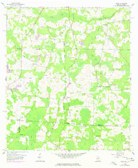
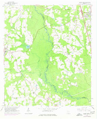
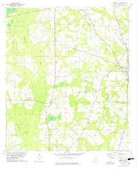
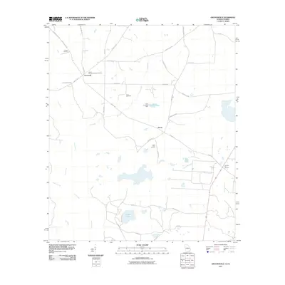
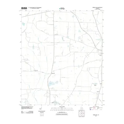
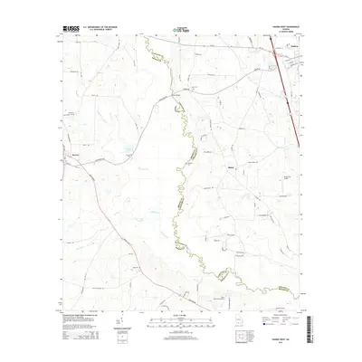
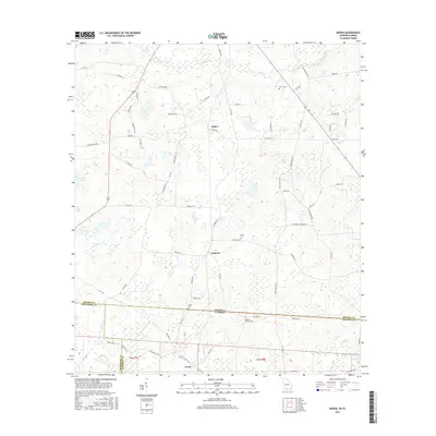
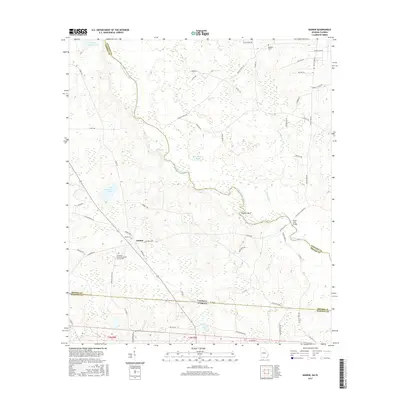
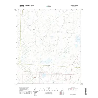
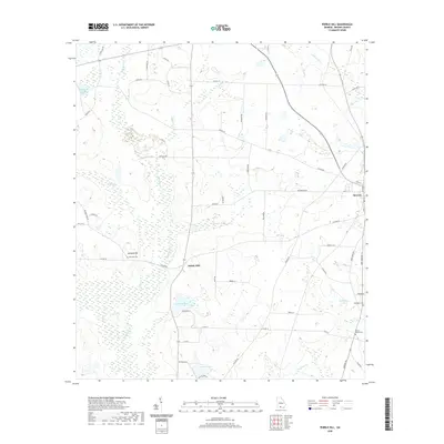
1956 Map of Baden
USGS Topo · Published 1977About this map
Piscola Creek and its southern tributaries wind through this mid-century landscape along the Georgia Florida state line, where the rural economy of Brooks County, Georgia, meets Madison County, Florida. The Southern railroad corridor acts as a central spine for the small settlements of Baden and Empress, which are surrounded by a network of country schools and churches that served these remote agrarian communities. Educational and spiritual life is anchored by landmarks like Liberty Sch, New Empress Sch, and the St Philip Ch. In the southwest, the boundary between Jefferson and Madison Counties intersects the Watson Line, marking a complex convergence of political and property divisions. Notable local history sites include the Union Cem and the Radford-Denson Cem, while the Catledge Hill Lookout Tower provided a high-ground vantage point over the timber and farm acreage.
Find a feature on this map
28 named features on this map. Tap any name to fly to it.
Don’t see what you’re looking for? This feature index may not catch every label — zoom into the map to look around manually.
Map Details
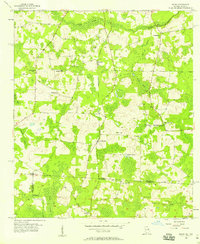
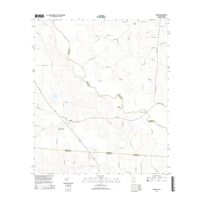
Editions of this 1956 Baden Map
2 editions found
Historical Maps of Lovett Through Time
44 maps found
1956 Baden
Brooks County, GA
1956 Grooverville
Brooks County, GA
1956 Nankin
Brooks County, GA
1961 Hahira West
Brooks County, GA
1961 Ousley
Brooks County, GA
1974 Berlin East
Brooks County, GA
1975 Pebble Hill
Brooks County, GA
1978 Pebble Hill
Brooks County, GA
1994 Nankin
Brooks County, GA
2011 Baden
Brooks County, GA
2011 Berlin East
Brooks County, GA
2011 Grooverville
Brooks County, GA
2011 Hahira West
Brooks County, GA
2011 Nankin
Brooks County, GA
2011 Ousley
Brooks County, GA
2011 Pebble Hill
Brooks County, GA
2014 Baden
Brooks County, GA
2014 Berlin East
Brooks County, GA
2014 Grooverville
Brooks County, GA
2014 Hahira West
Brooks County, GA
2014 Nankin
Brooks County, GA
2014 Ousley
Brooks County, GA
2014 Pebble Hill
Brooks County, GA
2017 Baden
Brooks County, GA
2017 Berlin East
Brooks County, GA
2017 Grooverville
Brooks County, GA
2017 Hahira West
Brooks County, GA
2017 Nankin
Brooks County, GA
2017 Ousley
Brooks County, GA
2017 Pebble Hill
Brooks County, GA
2020 Baden
Brooks County, GA

2020 Berlin East
Brooks County, GA
2020 Grooverville
Brooks County, GA
2020 Hahira West
Brooks County, GA
2020 Nankin
Brooks County, GA
2020 Ousley
Brooks County, GA
2020 Pebble Hill
Brooks County, GA
2024 Baden
Brooks County, GA
2024 Berlin East
Brooks County, GA
2024 Grooverville
Brooks County, GA
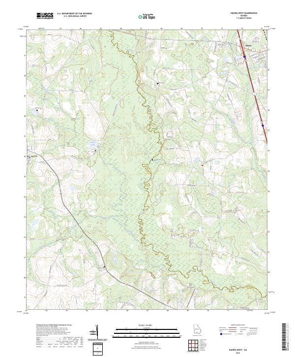
2024 Hahira West
Brooks County, GA
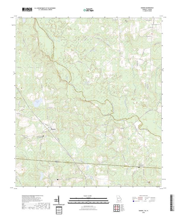
2024 Nankin
Brooks County, GA
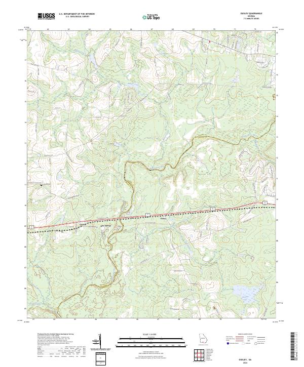
2024 Ousley
Brooks County, GA
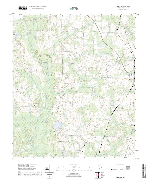
2024 Pebble Hill
Brooks County, GA