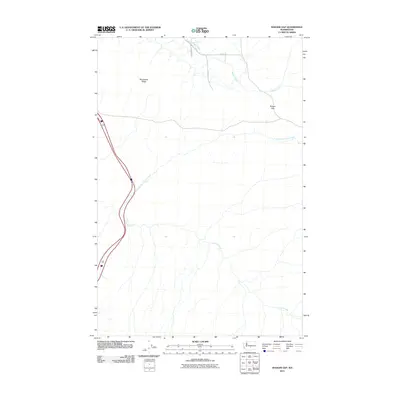
2011 Map of Badger Gap
USGS Topo · Published 2011About this map
Manastash Ridge dominates the western skyline of this central Washington landscape, where the high desert terrain transitions toward the Columbia Basin. The namesake Badger Gap serves as a critical geographic passage in the northern half of the sheet, providing a natural corridor through the ridgelines. Water sources are scarce and defined by the seasonal drainage of Badger Creek and the headwaters of Lmuma Creek, which includes its North Fork. The human footprint is marked by a sparse network of rural routes such as Upper Badger Pocket Rd and Carlat Rd, illustrating the intersection of open rangeland and the systematic road grid typical of the Kittitas Valley's edge.
Find a feature on this map
9 named features on this map. Tap any name to fly to it.
Don’t see what you’re looking for? This feature index may not catch every label — zoom into the map to look around manually.
Map Details
Editions of this 2011 Badger Gap Map
This is the sole edition of this map. No revisions or reprints were ever made.
Other maps of this area

1936 · Yakima East
USGS Topo · 1:48,000

1936 · Hog Ranch Buttes
USGS Topo · 1:48,000

1938 · Badger Pocket
USGS Topo · 1:48,000

1939 · Boylston
USGS Topo · 1:48,000

1941 · Black Rock Spring
USGS Topo · 1:62,500

1941 · Yakima East
USGS Topo · 1:62,500

1943 · Boylston
USGS Topo · 1:62,500

1943 · Badger Pocket
USGS Topo · 1:62,500

1950 · Yakima
USGS Topo · 1:250,000

1953 · McDonald Spring
USGS Topo · 1:24,000