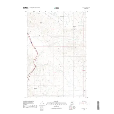
2020 Map of Badger Gap
USGS Topo · Published 2020About this map
Manastash Ridge and Umtanum Ridge dominate this Kittitas County landscape, defining a series of high-desert folds between the Yakima and Columbia rivers. The terrain is marked by a clear distinction between the arid uplands and the managed water systems of the north. At the base of the ridges, infrastructure like the Gravity Ditch and Pump Ditch reveals the complex history of irrigation required to support agriculture in Badger Pocket. Drainage patterns are carved by Badger Cr and the N Fork Lmuma Cr, which slice through the elevations at Badger Gap. Local roads such as Silica Rd and Bohannon Rd follow the natural contours of the basin, providing access to this historically significant cattle and farming region.
Find a feature on this map
16 named features on this map. Tap any name to fly to it.
Don’t see what you’re looking for? This feature index may not catch every label — zoom into the map to look around manually.
Map Details
Editions of this 2020 Badger Gap Map
This is the sole edition of this map. No revisions or reprints were ever made.
Other maps of this area

1936 · Yakima East
USGS Topo · 1:48,000

1936 · Hog Ranch Buttes
USGS Topo · 1:48,000

1938 · Badger Pocket
USGS Topo · 1:48,000

1939 · Boylston
USGS Topo · 1:48,000

1941 · Black Rock Spring
USGS Topo · 1:62,500

1941 · Yakima East
USGS Topo · 1:62,500

1943 · Boylston
USGS Topo · 1:62,500

1943 · Badger Pocket
USGS Topo · 1:62,500

1950 · Yakima
USGS Topo · 1:250,000

1953 · McDonald Spring
USGS Topo · 1:24,000