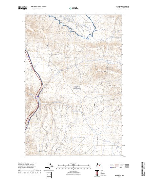
2023 Map of Badger Gap
USGS Topo · Published 2023About this map
Joint Base Lewis-McChord occupies a significant portion of this Kittitas County landscape, where military training grounds meet the complex topography of the Yakima Folds. The terrain is defined by the prominent Manastash Ridge and Um Tanum Ridge, which frame a high-elevation environment marked by dramatic relief. To the north, the Badger Pocket area represents a more developed agricultural or pastoral zone, supported by an irrigation network including the Pump Ditch and Gravity Ditch.
Find a feature on this map
18 named features on this map. Tap any name to fly to it.
Don’t see what you’re looking for? This feature index may not catch every label — zoom into the map to look around manually.
Map Details
Editions of this 2023 Badger Gap Map
This is the sole edition of this map. No revisions or reprints were ever made.
Other maps of this area

1936 · Yakima East
USGS Topo · 1:48,000

1936 · Hog Ranch Buttes
USGS Topo · 1:48,000

1938 · Badger Pocket
USGS Topo · 1:48,000

1939 · Boylston
USGS Topo · 1:48,000

1941 · Black Rock Spring
USGS Topo · 1:62,500

1941 · Yakima East
USGS Topo · 1:62,500

1943 · Boylston
USGS Topo · 1:62,500

1943 · Badger Pocket
USGS Topo · 1:62,500

1950 · Yakima
USGS Topo · 1:250,000

1953 · McDonald Spring
USGS Topo · 1:24,000