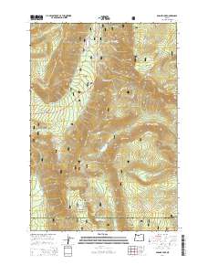
2014 Map of Badger Lake
USGS Topo · Published 2014About this map
Mount Hood National Forest defines this high-elevation landscape along the boundary of Hood River Co and Wasco Co. The terrain is marked by a series of prominent peaks and ridgelines, including Lookout Mtn, Gunsight Butte, and Bluegrass Ridge. Water is abundant throughout the quadrangle, feeding from high-altitude sources like Jean Lake and Badger Lake into an intricate network of drainages such as Badger Cr, Dog River, and the E Fork Hood River.
Find a feature on this map
66 named features on this map. Tap any name to fly to it.
Don’t see what you’re looking for? This feature index may not catch every label — zoom into the map to look around manually.
Map Details
Editions of this 2014 Badger Lake Map
This is the sole edition of this map. No revisions or reprints were ever made.
Other maps of this area

1924 · Mount Hood
USGS Topo · 1:125,000

1927 · Mount Hood
USGS Topo · 1:125,000

1930 · Dufur
USGS Topo · 1:125,000

1934 · Dufur
USGS Topo · 1:125,000

1953 · The Dalles
USGS Topo · 1:250,000

1956 · The Dalles
USGS Topo · 1:250,000

1956 · Mt. Wilson
USGS Topo · 1:62,500

1957 · The Dalles
USGS Topo · 1:250,000

1962 · Rock Creek Reservoir
USGS Topo · 1:24,000

1962 · Cathedral Ridge
USGS Topo · 1:24,000