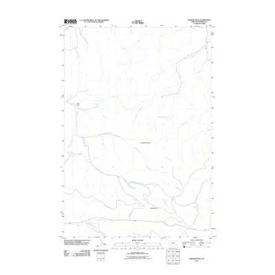
2011 Map of Badger Peak
USGS Topo · Published 2011About this map
Badger Peak stands as the central landmark of this high Montana landscape, where the headwaters of numerous creeks carve through the terrain of Rosebud County. The hydrological network is the defining characteristic of this area, with Miller Creek and the West Fork Miller Creek draining the northern reaches, while the southern portion is defined by the basins of Alderson Creek and the South Fork Alderson Creek. Local geography is further punctuated by named elevations and water sources including Charlie Black Butte and Diamond R Spring. For researchers, the presence of thoroughfares like Skyline Rd and Skyline Dr provides a clear view of how the land is traversed in relation to the complex drainage systems of Kelly Creek and Rye Grass Creek, highlighting the importance of reliable water sources like Mud Springs in this environment.
Find a feature on this map
17 named features on this map. Tap any name to fly to it.
Don’t see what you’re looking for? This feature index may not catch every label — zoom into the map to look around manually.
Map Details
Editions of this 2011 Badger Peak Map
This is the sole edition of this map. No revisions or reprints were ever made.
Other maps of this area

1954 · Hardin
USGS Topo · 1:250,000

1957 · Hardin
USGS Topo · 1:250,000

1958 · Hardin
USGS Topo · 1:250,000

1958 · Garfield Peak
USGS Topo · 1:24,000

1958 · Jimtown
USGS Topo · 1:24,000

1958 · Fisher Butte
USGS Topo · 1:24,000

1958 · Lame Deer
USGS Topo · 1:24,000

1958 · Badger Peak
USGS Topo · 1:24,000

1958 · Hollowwood Creek
USGS Topo · 1:24,000

1971 · Colstrip SW
USGS Topo · 1:24,000