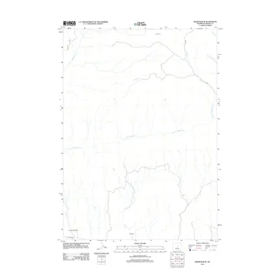
2012 Map of Badwater SE
USGS Topo · Published 2012About this map
Red Ranch and the Hitchcock Homestead anchor the southern portion of this high-desert landscape in Natrona County, where land use is defined by isolated outposts and seasonal watercourses. The drainage patterns of the Dry Fork Badwater Cr and Red Cr dominate the central terrain, illustrating the hydrologic network of this arid region. High-elevation points are marked by solitary structures like Lichty Cabin in the north, connected by a network of utilitarian paths including the Oakie Trl and E-5 Trl. This area, accessed primarily via Lost Cabin Rd, reflects a classic Western ranching and homesteading pattern where life is centered around the scarce reliable water of Badwater Cr and its various tributaries.
Find a feature on this map
13 named features on this map. Tap any name to fly to it.
Don’t see what you’re looking for? This feature index may not catch every label — zoom into the map to look around manually.
Map Details
Editions of this 2012 Badwater SE Map
This is the sole edition of this map. No revisions or reprints were ever made.
Other maps of this area

1952 · Deadman Butte
USGS Topo · 1:24,000

1952 · Badwater
USGS Topo · 1:24,000

1952 · Grave Spring
USGS Topo · 1:24,000

1952 · Arminto
USGS Topo · 1:24,000

1952 · Arminto NW
USGS Topo · 1:24,000

1952 · Waltman NW
USGS Topo · 1:24,000

1952 · Sioux Pass
USGS Topo · 1:24,000

1952 · Badwater NE
USGS Topo · 1:24,000

1952 · Badwater SE
USGS Topo · 1:24,000

1955 · Arminto
USGS Topo · 1:250,000