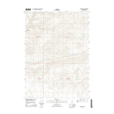
2015 Map of Badwater SE
USGS Topo · Published 2015About this map
Swaim Place stands as a distinct named point of interest in this high-altitude drainage basin where water management is central to the landscape. In the southern half of the map, a complex network of small catchments like White Rock Reservoir, Pine Ridge Reservoir, and Red Ranch Reservoir suggests the importance of water storage for local ranching or land use. The terrain is defined by the branching tributaries of Badwater Cr, including the extensively winding Dry Fork Badwater Cr. Human infrastructure is sparse, concentrated primarily along Lost Cabin Rd in the southwest and the scattered reservoirs such as Red Bluff Reservoir and Three Forks Reservoir. This map documents a high-country environment where the natural drainage of Red Cr and Willow Cr dictates the few signs of settlement and seasonal use.
Find a feature on this map
17 named features on this map. Tap any name to fly to it.
Don’t see what you’re looking for? This feature index may not catch every label — zoom into the map to look around manually.
Map Details
Editions of this 2015 Badwater SE Map
This is the sole edition of this map. No revisions or reprints were ever made.
Other maps of this area

1952 · Deadman Butte
USGS Topo · 1:24,000

1952 · Badwater
USGS Topo · 1:24,000

1952 · Grave Spring
USGS Topo · 1:24,000

1952 · Arminto
USGS Topo · 1:24,000

1952 · Arminto NW
USGS Topo · 1:24,000

1952 · Waltman NW
USGS Topo · 1:24,000

1952 · Sioux Pass
USGS Topo · 1:24,000

1952 · Badwater NE
USGS Topo · 1:24,000

1952 · Badwater SE
USGS Topo · 1:24,000

1955 · Arminto
USGS Topo · 1:250,000