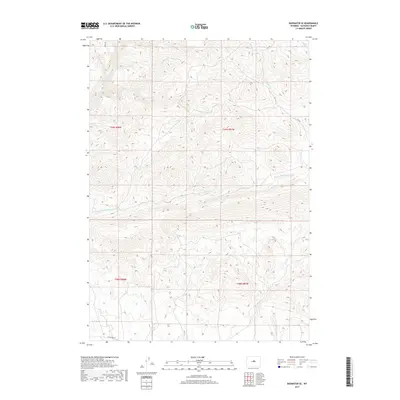
2017 Map of Badwater SE
USGS Topo · Published 2017About this map
Badwater Cr and its tributaries define the drainage patterns of this central Wyoming landscape within Natrona County. The terrain is etched by the seasonal flows of Dry Fork Badwater Cr, Willow Cr, and Sanchez Cr, illustrating the complex hydrology of the region's high plains. Overland travel is documented through historic routes such as the Oakie Trl and E-K Trl, which navigate the topography alongside the more established Lost Cabin Rd in the southwestern corner. The map provides a precise view of the Public Land Survey System divisions, showing the intersection of Township 38 and 39 North with Ranges 87 and 88 West. This 2017 survey by the U.S. Geological Survey documents the sparse but vital water sources like Red Cr that have historically dictated land use and movement across these vast open spaces.
Find a feature on this map
12 named features on this map. Tap any name to fly to it.
Don’t see what you’re looking for? This feature index may not catch every label — zoom into the map to look around manually.
Map Details
Editions of this 2017 Badwater SE Map
This is the sole edition of this map. No revisions or reprints were ever made.
Other maps of this area

1952 · Deadman Butte
USGS Topo · 1:24,000

1952 · Badwater
USGS Topo · 1:24,000

1952 · Grave Spring
USGS Topo · 1:24,000

1952 · Arminto
USGS Topo · 1:24,000

1952 · Arminto NW
USGS Topo · 1:24,000

1952 · Waltman NW
USGS Topo · 1:24,000

1952 · Sioux Pass
USGS Topo · 1:24,000

1952 · Badwater NE
USGS Topo · 1:24,000

1952 · Badwater SE
USGS Topo · 1:24,000

1955 · Arminto
USGS Topo · 1:250,000