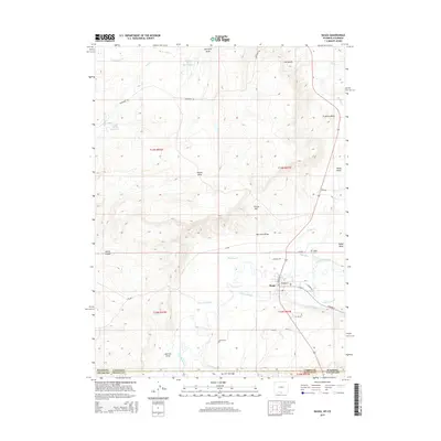
2015 Map of Baggs
USGS Topo · Published 2015About this map
The Little Snake River meanders across the high desert floor near the southern border of Carbon County, anchoring the settlement of Baggs. In this arid landscape, a complex system of water management is evident through features like Baggs Ditch, the Gibson Blair Ditch, and Ledford Slough, which support the valley's cattle ranching and agriculture. The terrain rises sharply from the river bottom toward prominent landmarks such as The Bluffs and Tincan Hill, while numerous ephemeral drainages like Poison Draw and Garrish Draw carve through the sagebrush-covered plains. The map captures the intersection of rural Wyoming and Colorado, where the state line divides the high-altitude topography. Local history is preserved at the Baggs Cem, situated just north of the river, while the town's street grid, including Cowpoke Rd and Osborne St, reflects its role as a regional hub for the surrounding ranchlands and energy basins.
Find a feature on this map
45 named features on this map. Tap any name to fly to it.
Don’t see what you’re looking for? This feature index may not catch every label — zoom into the map to look around manually.
Map Details
Editions of this 2015 Baggs Map
This is the sole edition of this map. No revisions or reprints were ever made.
Other maps of this area

1916 · Craig
USGS Topo · 1:125,000

1954 · Rawlins
USGS Topo · 1:250,000

1954 · Craig
USGS Topo · 1:250,000

1957 · Craig
USGS Topo · 1:250,000

1957 · Baggs
USGS Topo · 1:62,500

1958 · Rawlins
USGS Topo · 1:250,000

1958 · Craig
USGS Topo · 1:250,000

1960 · Craig
USGS Topo · 1:250,000

1962 · Rawlins
USGS Topo · 1:250,000

1962 · Craig
USGS Topo · 1:250,000