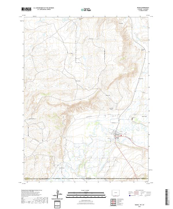
2021 Map of Baggs
USGS Topo · Published 2021About this map
The town of Baggs sits at a geographic crossroads along the Little Snake River, serving as a vital hub where the high desert of the Wyoming-Colorado border meets the irrigation networks of the valley. This landscape is defined by its water management, featuring a complex system of diversions including the Baggs Ditch, W Side Canal, and Gibson-Blair Ditch. These waterways support the valley floor, contrasting sharply with the arid surrounding terrain of Devils Canyon and the high vantage points of Tincan Hill and Weber Mesa.
Find a feature on this map
43 named features on this map. Tap any name to fly to it.
Don’t see what you’re looking for? This feature index may not catch every label — zoom into the map to look around manually.
Map Details
Editions of this 2021 Baggs Map
This is the sole edition of this map. No revisions or reprints were ever made.
Other maps of this area

1916 · Craig
USGS Topo · 1:125,000

1954 · Rawlins
USGS Topo · 1:250,000

1954 · Craig
USGS Topo · 1:250,000

1957 · Craig
USGS Topo · 1:250,000

1957 · Baggs
USGS Topo · 1:62,500

1958 · Rawlins
USGS Topo · 1:250,000

1958 · Craig
USGS Topo · 1:250,000

1960 · Craig
USGS Topo · 1:250,000

1962 · Rawlins
USGS Topo · 1:250,000

1962 · Craig
USGS Topo · 1:250,000