
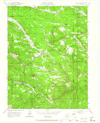
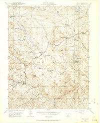
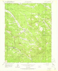
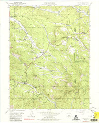
1945 Map of Bailey
USGS Topo · Published 1956About this map
The North Fork South Platte River carves a deep path through this section of the Pike National Forest, serving as the primary corridor for settlement and transit at the end of World War II. The town of Bailey sits at a critical junction along the river, supported by the Bailey Ranger Sta and Bailey Camp Grounds. This 1945 field check reveals a landscape transitioning from pioneer ranching toward more established mountain communities and early recreational retreats like Wandcrest Park and Silver Springs.
Find a feature on this map
61 named features on this map. Tap any name to fly to it.
Don’t see what you’re looking for? This feature index may not catch every label — zoom into the map to look around manually.
Map Details
Editions of this 1945 Bailey Map
5 editions found
Other maps of this area

1893 · Platte Canyon
USGS Topo · 1:125,000

1899 · West Denver
USGS Topo · 1:125,000

1903 · Georgetown
USGS Topo · 1:62,500

1905 · Georgetown
USGS Topo · 1:62,500

1945 · Pine
USGS Topo · 1:24,000

1945 · Shawnee
USGS Topo · 1:24,000

1948 · Pine
USGS Topo · 1:24,000

1948 · Shawnee
USGS Topo · 1:24,000

1949 · Bailey
USGS Topo · 1:24,000

1953 · Denver
USGS Topo · 1:250,000