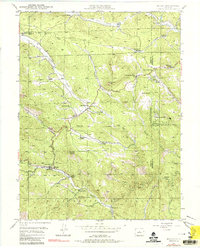
1945 Map of Bailey
USGS Topo · Published 1984About this map
The North Fork South Platte River carves a central path through this mid-century survey of the Front Range foothills, where the village of Bailey serves as a primary hub. The landscape is a network of historic homesteads and ranches, reflecting the area's agricultural and pastoral legacy through labels such as Lydia Ranch, Davis Ranch, and the Isham Jones Ranch. Local education and community life are anchored at the Dry Creek Sch and Pine Gulch Sch, while the presence of the Pine Gl Cem and Horn Cem provides vital points of interest for genealogical research.
Find a feature on this map
45 named features on this map. Tap any name to fly to it.
Don’t see what you’re looking for? This feature index may not catch every label — zoom into the map to look around manually.
Map Details
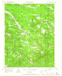
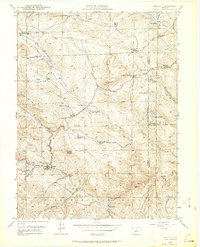
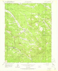
Editions of this 1945 Bailey Map
5 editions found
Other maps of this area

1893 · Platte Canyon
USGS Topo · 1:125,000

1899 · West Denver
USGS Topo · 1:125,000

1903 · Georgetown
USGS Topo · 1:62,500

1905 · Georgetown
USGS Topo · 1:62,500

1945 · Pine
USGS Topo · 1:24,000

1945 · Bailey
USGS Topo · 1:24,000

1945 · Shawnee
USGS Topo · 1:24,000

1948 · Pine
USGS Topo · 1:24,000

1948 · Shawnee
USGS Topo · 1:24,000

1949 · Bailey
USGS Topo · 1:24,000