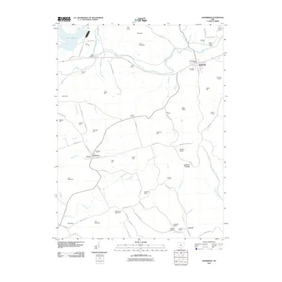
2010 Map of Bainbridge
USGS Topo · Published 2010About this map
Paint Creek Lake and its surrounding hills dominate this 2010 landscape, where the waters of Paint Creek flow past steep ridges and deep valleys. The village of Bainbridge sits at the northeastern corner of the map, serving as a focal point along the creek with its Bainbridge Post Office and local Bainbridge Cemetery. Further south, the map reveals smaller community hubs like Cynthiana and Lapperell, each anchored by their respective post offices and cemeteries.
Find a feature on this map
87 named features on this map. Tap any name to fly to it.
Don’t see what you’re looking for? This feature index may not catch every label — zoom into the map to look around manually.
Map Details
Editions of this 2010 Bainbridge Map
This is the sole edition of this map. No revisions or reprints were ever made.
Other maps of this area

1912 · Roxabell
USGS Topo · 1:62,500

1914 · Roxabell
USGS Topo · 1:62,500

1915 · Bainbridge
USGS Topo · 1:48,000

1915 · Piketon
USGS Topo · 1:62,500

1917 · Bainbridge
USGS Topo · 1:62,500

1917 · Piketon
USGS Topo · 1:62,500

1917 · Greenfield
USGS Topo · 1:62,500

1944 · Piketon
USGS Topo · 1:62,500

1944 · Greenfield
USGS Topo · 1:62,500

1944 · Roxabell
USGS Topo · 1:62,500