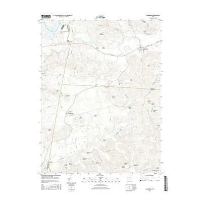
2016 Map of Bainbridge
USGS Topo · Published 2016About this map
Bainbridge serves as a focal point in the valley where Paint Creek meets the highlands of Ross County. The landscape is defined by its deep hollows and ridges, such as Whiskey Hollow and Fairview Ridge, which dictated the settlement patterns visible in this 2016 survey. Smaller communities like Cynthiana and Lapperell are situated along winding roads that follow the natural contours of the Muddy Fork and Baker Fork.
Find a feature on this map
102 named features on this map. Tap any name to fly to it.
Don’t see what you’re looking for? This feature index may not catch every label — zoom into the map to look around manually.
Map Details
Editions of this 2016 Bainbridge Map
This is the sole edition of this map. No revisions or reprints were ever made.
Other maps of this area

1912 · Roxabell
USGS Topo · 1:62,500

1914 · Roxabell
USGS Topo · 1:62,500

1915 · Bainbridge
USGS Topo · 1:48,000

1915 · Piketon
USGS Topo · 1:62,500

1917 · Bainbridge
USGS Topo · 1:62,500

1917 · Piketon
USGS Topo · 1:62,500

1917 · Greenfield
USGS Topo · 1:62,500

1944 · Piketon
USGS Topo · 1:62,500

1944 · Greenfield
USGS Topo · 1:62,500

1944 · Roxabell
USGS Topo · 1:62,500