2024 Map of Bainville
USGS Topo · Published 2024About this map
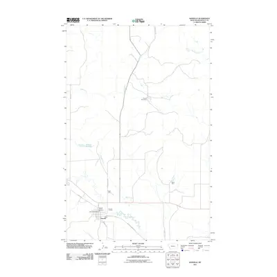
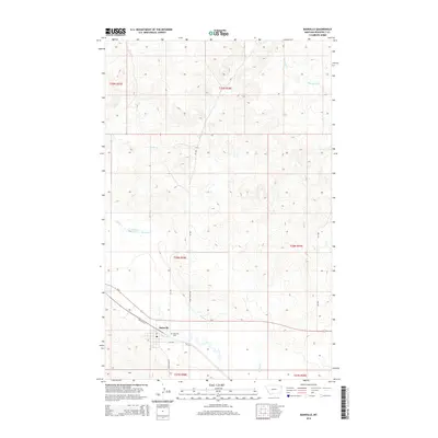
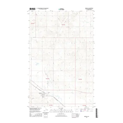
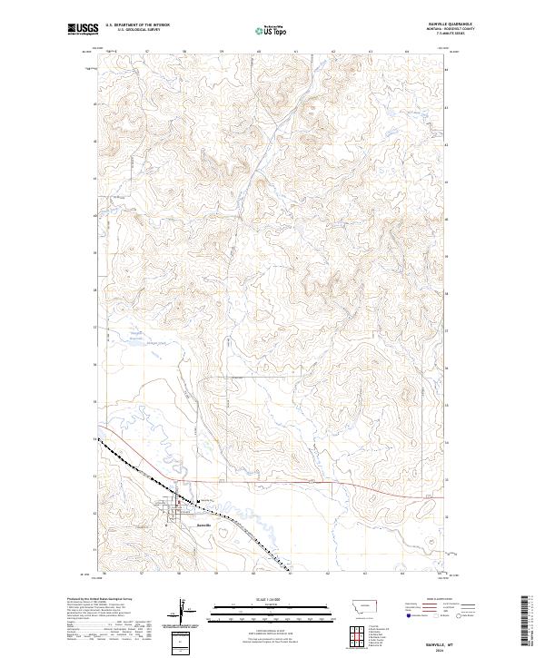
Bainville serves as the central hub of this eastern Roosevelt County landscape, where the local street grid intersects with the Bainville-Snowden Rd and Highway Ave. The town's layout is clearly defined by named thoroughfares including Clinton St, Flynn Ave, and Clark Ave, which lead toward the nearby Bainville Cem. The surrounding terrain is defined by the winding paths of Snake Creek and Red Bank Creek, illustrating the drainage patterns that have shaped agricultural and settlement boundaries in this part of Montana.
Find a feature on this map
30 named features on this map. Tap any name to fly to it.
Don’t see what you’re looking for? This feature index may not catch every label — zoom into the map to look around manually.
Map Details
Editions of this 2024 Bainville Map
This is the sole edition of this map. No revisions or reprints were ever made.
Historical Maps of Bainville Through Time
6 maps found