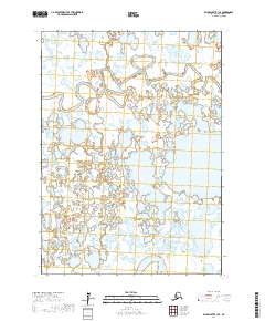
2017 Map of Baird Inlet B-1 SE
USGS Topo · Published 2017About this map
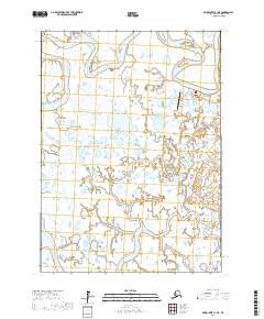
The Eenayarak River meanders through the northern reaches of this low-lying wetland environment, defining a landscape of intricate hydrological patterns within the Bethel Census Area. This 2017 survey emphasizes the complex aquatic network that characterizes the region, where the Eek River appears in the southeastern corner. The territory is largely defined by the Public Land Survey System grids, including t3n r74w and t2n r73w, which provide a structural framework for a region otherwise shaped by water and tundra. For those studying the Yukon-Kuskokwim Delta, the map provides precise documentation of shifting river channels and the countless unnamed ponds and seasonal wetlands that dominate the local topography. This data represents a specific modern baseline for a geography that remains in constant flux due to seasonal cycles and long-term environmental changes.
Find a feature on this map
6 named features on this map. Tap any name to fly to it.
Don’t see what you’re looking for? This feature index may not catch every label — zoom into the map to look around manually.
Map Details
Editions of this 2017 Baird Inlet B-1 SE Map
This is the sole edition of this map. No revisions or reprints were ever made.
Other maps of this area

1950 · Bethel
USGS Topo · 1:250,000

1951 · Baird Inlet
USGS Topo · 1:250,000

1954 · Bethel B-8
USGS Topo · 1:63,360
1954 · Bethel A-8
USGS Topo · 1:63,360

1954 · Baird Inlet
USGS Topo · 1:250,000

1954 · Baird Inlet B-1
USGS Topo · 1:63,360
1954 · Baird Inlet A-1
USGS Topo · 1:63,360

1980 · Bethel
USGS Topo · 1:250,000
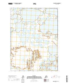
2017 · Baird Inlet B-1 NE
USGS Topo · 1:25,000
2017 · Baird Inlet A-1 NE
USGS Topo · 1:25,000