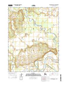
2015 Map of Baird Mountains A-2 NE
USGS Topo · Published 2015About this map
Kobuk Valley National Park dominates the landscape of this Arctic region, where a complex network of waterways defines the terrain. The Kobuk River flows through the southern portion of the quadrangle, joined by the Salmon River as it winds through expansive river valleys. These major watercourses are fed by smaller tributaries such as the Kallarichuk River and Kilik River, creating a dynamic hydrological system within the Northwest Arctic Borough. This 2015 survey illustrates a wilderness shaped by river migrations and seasonal shifts, devoid of permanent settlements or modern road infrastructure. The map serves as a primary record of the natural boundaries and water systems that characterize this part of the Brooks Range foothills, where the land remains largely untransformed by industrial development.
Find a feature on this map
9 named features on this map. Tap any name to fly to it.
Don’t see what you’re looking for? This feature index may not catch every label — zoom into the map to look around manually.
Map Details
Editions of this 2015 Baird Mountains A-2 NE Map
This is the sole edition of this map. No revisions or reprints were ever made.
Other maps of this area

1951 · Baird Mountains
USGS Topo · 1:250,000

1955 · Baird Mountains A-1
USGS Topo · 1:63,360

1955 · Baird Mountains A-2
USGS Topo · 1:63,360

1956 · Baird Mountains
USGS Topo · 1:250,000

1965 · Baird Mountains
USGS Topo · 1:250,000
1990 · Baird Mountains B-1
USGS Topo · 1:63,360
1990 · Baird Mountains B-2
USGS Topo · 1:63,360
2015 · Baird Mountains B-2 SE
USGS Topo · 1:25,000
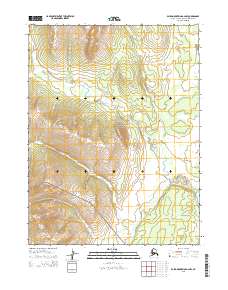
2015 · Baird Mountains A-2 NW
USGS Topo · 1:25,000
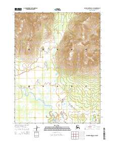
2015 · Baird Mountains B-1 SW
USGS Topo · 1:25,000