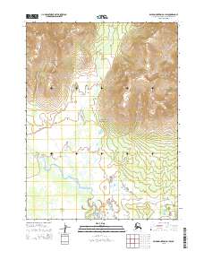
2015 Map of Baird Mountains B-1 SW
USGS Topo · Published 2015About this map
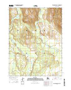
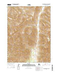
Kobuk Valley National Park dominates the center of this 2015 study, where the northern interior of the Northwest Arctic borough is defined by a sharp transition from mountainous terrain to an intricate river valley. The topography is marked by steep ridges and deep drainages that feed into the south-flowing Tutuksuk River. This drainage system represents a vital corridor for movement and ecological connectivity in an area largely devoid of permanent human infrastructure. The map provides a detailed view of the Public Land Survey System boundaries, including t23n r4w and t22n r3w, which help orient researchers to specific wilderness tracts. The lack of roads or established settlements emphasizes the remote nature of these protected lands, where natural features remain the primary landmarks for navigation and local history.
Find a feature on this map
8 named features on this map. Tap any name to fly to it.
Don’t see what you’re looking for? This feature index may not catch every label — zoom into the map to look around manually.
Map Details
Editions of this 2015 Baird Mountains B-1 SW Map
This is the sole edition of this map. No revisions or reprints were ever made.
Other maps of this area

1951 · Baird Mountains
USGS Topo · 1:250,000

1955 · Baird Mountains A-1
USGS Topo · 1:63,360

1955 · Baird Mountains A-2
USGS Topo · 1:63,360

1956 · Baird Mountains
USGS Topo · 1:250,000

1965 · Baird Mountains
USGS Topo · 1:250,000
1990 · Baird Mountains B-1
USGS Topo · 1:63,360
1990 · Baird Mountains B-2
USGS Topo · 1:63,360
2015 · Baird Mountains B-1 SE
USGS Topo · 1:25,000
2015 · Baird Mountains B-2 SE
USGS Topo · 1:25,000
2015 · Baird Mountains B-1 NW
USGS Topo · 1:25,000