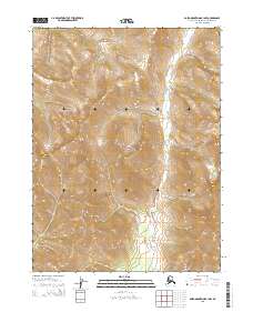
2015 Map of Baird Mountains B-1 NW
USGS Topo · Published 2015About this map
Kobuk Valley National Park encompasses the central portion of this remote Alaskan survey, where the high ridges of the Baird Mountains dominate the horizon. This mid-2010s data reflects a landscape defined by natural boundaries and the Public Land Survey System, specifically within t24n r4w, t24n r3w, t23n r4w, and t23n r3w. The map depicts an area largely devoid of modern industrial development or human settlements, focusing instead on the complex topography and high-altitude contours characteristic of the Northwest Arctic. For researchers, it provides a precise record of federal land management boundaries and the unmodified drainage patterns and peaks within one of the United States' most isolated national park units.
Find a feature on this map
6 named features on this map. Tap any name to fly to it.
Don’t see what you’re looking for? This feature index may not catch every label — zoom into the map to look around manually.
Map Details
Editions of this 2015 Baird Mountains B-1 NW Map
This is the sole edition of this map. No revisions or reprints were ever made.
Other maps of this area

1951 · Baird Mountains
USGS Topo · 1:250,000

1956 · Baird Mountains
USGS Topo · 1:250,000

1965 · Baird Mountains
USGS Topo · 1:250,000
1990 · Baird Mountains C-1
USGS Topo · 1:63,360
1990 · Baird Mountains B-1
USGS Topo · 1:63,360
1990 · Baird Mountains B-2
USGS Topo · 1:63,360
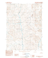
1990 · Baird Mountains C-2
USGS Topo · 1:63,360
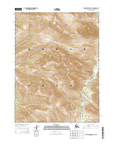
2015 · Baird Mountains C-2 SE
USGS Topo · 1:25,000
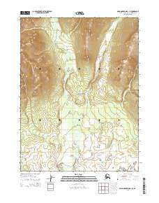
2015 · Baird Mountains B-1 SE
USGS Topo · 1:25,000
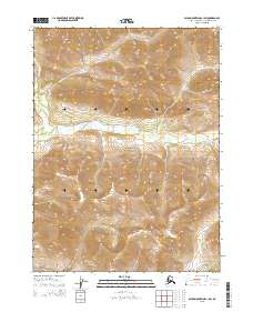
2015 · Baird Mountains C-1 SW
USGS Topo · 1:25,000