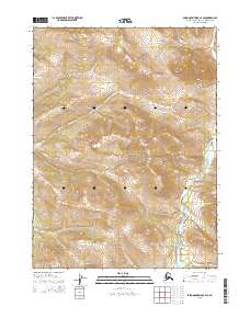
2015 Map of Baird Mountains C-2 SE
USGS Topo · Published 2015About this map
Kobuk Valley National Park encompasses a significant portion of this Arctic landscape, where the Tutuksuk River winds through the southeastern reaches of the quadrangle. This 2015 survey highlights the topographic complexity of the Baird Mountains, detailing the high ridges and steep drainage basins that define the region's wilderness character. The lack of modern infrastructure or permanent settlements on the map underscores the area's protected status and its role as a preserved corridor for natural ecosystems. Boundary lines for various townships, such as t25n r4w and t26n r5w, provide a legal framework for this remote terrain, which remains a primary focus for conservation and environmental study within the Alaska-Northwest Arctic Borough.
Find a feature on this map
9 named features on this map. Tap any name to fly to it.
Don’t see what you’re looking for? This feature index may not catch every label — zoom into the map to look around manually.
Map Details
Editions of this 2015 Baird Mountains C-2 SE Map
This is the sole edition of this map. No revisions or reprints were ever made.
Other maps of this area

1951 · Baird Mountains
USGS Topo · 1:250,000

1956 · Baird Mountains
USGS Topo · 1:250,000

1965 · Baird Mountains
USGS Topo · 1:250,000
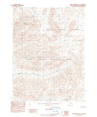
1990 · Baird Mountains C-1
USGS Topo · 1:63,360
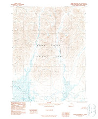
1990 · Baird Mountains B-1
USGS Topo · 1:63,360
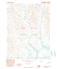
1990 · Baird Mountains B-2
USGS Topo · 1:63,360
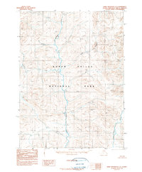
1990 · Baird Mountains C-2
USGS Topo · 1:63,360
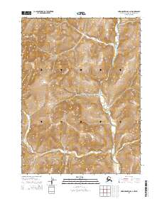
2015 · Baird Mountains C-2 NW
USGS Topo · 1:25,000
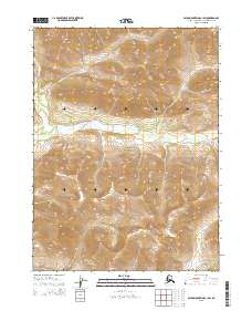
2015 · Baird Mountains C-1 SW
USGS Topo · 1:25,000
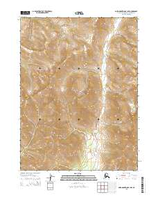
2015 · Baird Mountains B-1 NW
USGS Topo · 1:25,000