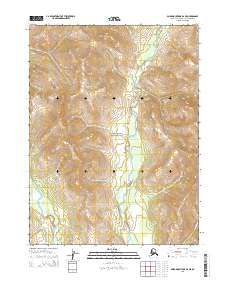
2015 Map of Baird Mountains B-2 NE
USGS Topo · Published 2015About this map
Kobuk Valley National Park encompasses much of this interior Alaskan landscape, dominated by the massive relief of the Baird Mountains. The map documents a wilderness environment defined by significant elevation changes and the braided hydrology of the Tutuksuk River, which flows southward through the center of the quadrangle. On the western edge, the headwaters of the Salmon River begin their descent through the high country. This 2015 U.S. Geological Survey representation focuses on the natural topography and hydrography within the Northwest Arctic Borough, showing the area before any major modern development or infrastructure altered these remote drainage basins.
Find a feature on this map
8 named features on this map. Tap any name to fly to it.
Don’t see what you’re looking for? This feature index may not catch every label — zoom into the map to look around manually.
Map Details
Editions of this 2015 Baird Mountains B-2 NE Map
This is the sole edition of this map. No revisions or reprints were ever made.
Other maps of this area

1951 · Baird Mountains
USGS Topo · 1:250,000

1956 · Baird Mountains
USGS Topo · 1:250,000

1965 · Baird Mountains
USGS Topo · 1:250,000
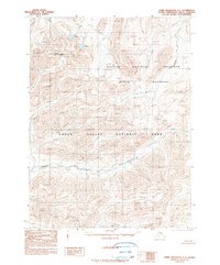
1990 · Baird Mountains C-1
USGS Topo · 1:63,360
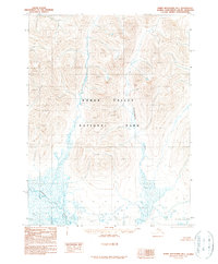
1990 · Baird Mountains B-1
USGS Topo · 1:63,360
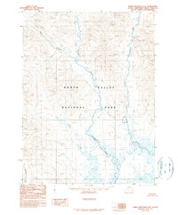
1990 · Baird Mountains B-2
USGS Topo · 1:63,360
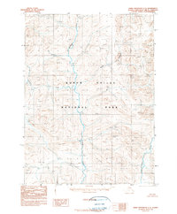
1990 · Baird Mountains C-2
USGS Topo · 1:63,360
2015 · Baird Mountains C-2 SE
USGS Topo · 1:25,000
2015 · Baird Mountains C-1 SW
USGS Topo · 1:25,000
2015 · Baird Mountains B-2 SE
USGS Topo · 1:25,000