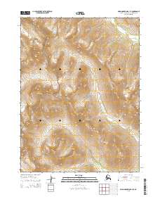
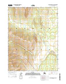
2015 Map of Baird Mountains B-3 SE
USGS Topo · Published 2015About this map
Kobuk Valley National Park encompasses a significant portion of this high-latitude terrain, where the northern drainage systems shape the landscape. The Kallariehuk River meanders through the central and southern reaches of the quadrangle, flanked by the prominent Kallarichuk Hills that define the local relief. Tributaries such as Klery Cr and Timber Cr feed into the regional watershed, illustrating the complex hydrological network typical of the Northwest Arctic. This 2015 survey details a remote wilderness area characterized by significant elevation changes, with the Kitlik River marking the northeastern corner. The map provides an essential record of township and range boundaries within the public land survey system, specifically covering parts of t22n r7w and t23n r6w, documenting the administrative footprint across this unpopulated expanse of the Alaska interior.
Find a feature on this map
12 named features on this map. Tap any name to fly to it.
Don’t see what you’re looking for? This feature index may not catch every label — zoom into the map to look around manually.
Map Details
Editions of this 2015 Baird Mountains B-3 SE Map
This is the sole edition of this map. No revisions or reprints were ever made.
Other maps of this area

1951 · Baird Mountains
USGS Topo · 1:250,000

1955 · Baird Mountains A-2
USGS Topo · 1:63,360

1955 · Baird Mountains B-3
USGS Topo · 1:63,360

1955 · Baird Mountains A-3
USGS Topo · 1:63,360

1956 · Baird Mountains
USGS Topo · 1:250,000

1965 · Baird Mountains
USGS Topo · 1:250,000
1990 · Baird Mountains B-2
USGS Topo · 1:63,360
2015 · Baird Mountains B-3 SW
USGS Topo · 1:25,000
2015 · Baird Mountains A-3 NW
USGS Topo · 1:25,000
2015 · Baird Mountains A-2 NW
USGS Topo · 1:25,000