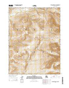
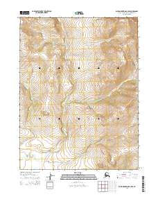
2015 Map of Baird Mountains B-3 SW
USGS Topo · Published 2015About this map
The high alpine drainages of the Baird Mountains B-3 SW quadrangle are defined by a network of creeks that carve through the remote landscape of the Alaska-Northwest Arctic Borough. This 2015 U.S. Geological Survey study details the complex topography where Timber Cr and Spruce Cr descend from steep ridges. The presence of watercourses such as Klery Cr and Gold Run Cr suggests a landscape shaped by seasonal runoff and glacial history, typical of the region's interior mountains.
Find a feature on this map
12 named features on this map. Tap any name to fly to it.
Don’t see what you’re looking for? This feature index may not catch every label — zoom into the map to look around manually.
Map Details
Editions of this 2015 Baird Mountains B-3 SW Map
This is the sole edition of this map. No revisions or reprints were ever made.
Other maps of this area

1951 · Baird Mountains
USGS Topo · 1:250,000

1955 · Baird Mountains B-3
USGS Topo · 1:63,360

1955 · Baird Mountains A-3
USGS Topo · 1:63,360
1955 · Baird Mountains B-4
USGS Topo · 1:63,360

1955 · Baird Mountains A-4
USGS Topo · 1:63,360

1956 · Baird Mountains
USGS Topo · 1:250,000

1965 · Baird Mountains
USGS Topo · 1:250,000
2015 · Baird Mountains A-4 NE
USGS Topo · 1:25,000
2015 · Baird Mountains B-4 NE
USGS Topo · 1:25,000
2015 · Baird Mountains A-3 NW
USGS Topo · 1:25,000