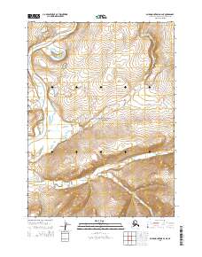
2015 Map of Baird Mountains D-3 NE
USGS Topo · Published 2015About this map
Noatak National Preserve protects this vast Arctic watershed where the Noatak River meanders through a valley defined by significant elevation changes. The hydrology of the region is centered on the primary river channel and its numerous tributaries, including Uluksiak Cr and Isaoktuvik Cr, which drain the surrounding slopes. Uyon Lakes sits in the northwest, providing a distinct water feature amidst the complex contour lines of the Baird Mountains. This 2015 U.S. Geological Survey topographic study illustrates the untouched character of the Northwest Arctic Borough, highlighting the intricate drainage patterns of Aklumayuak Creek and Aklumayuak Cr as they cut through the terrain. The map serves as a primary record of this remote wilderness, detailing the land's transition from high ridges to low-lying riverbanks within the preserve.
Find a feature on this map
11 named features on this map. Tap any name to fly to it.
Don’t see what you’re looking for? This feature index may not catch every label — zoom into the map to look around manually.
Map Details
Editions of this 2015 Baird Mountains D-3 NE Map
This is the sole edition of this map. No revisions or reprints were ever made.
Other maps of this area

1951 · Baird Mountains
USGS Topo · 1:250,000

1951 · Misheguk Mountain
USGS Topo · 1:250,000

1955 · Baird Mountains D-3
USGS Topo · 1:63,360

1955 · Misheguk Mountain A-3
USGS Topo · 1:63,360

1956 · Misheguk Mountain
USGS Topo · 1:250,000

1956 · Baird Mountains
USGS Topo · 1:250,000

1965 · Baird Mountains
USGS Topo · 1:250,000
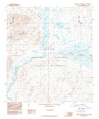
1990 · Misheguk Mountain A-2
USGS Topo · 1:63,360
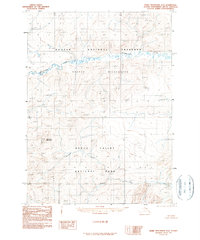
1990 · Baird Mountains D-2
USGS Topo · 1:63,360
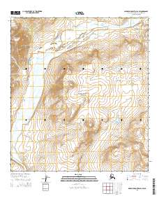
2015 · Misheguk Mountain A-2 SW
USGS Topo · 1:25,000