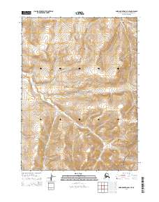
2015 Map of Baird Mountains D-3 SE
USGS Topo · Published 2015About this map
The Baird Mountains dominate this remote Alaskan landscape, where the high arctic terrain is divided between two massive federal conservation units. Much of the northern and central sections of this 2015 survey fall within the Noatak National Preserve, while the southeastern corner reaches into the Kobuk Valley National Park. This intersection of protected lands highlights a wilderness managed for its natural character rather than industrial or residential development. The drainage of Kanayut Cr cuts through the western reaches of the quadrangle, illustrating the complex watershed patterns that define the foothills of the western Brooks Range. The map serves as a record of these boundaries and land designations as they stood in the early 21st century, providing essential context for understanding the geography of the Northwest Arctic Borough.
Find a feature on this map
10 named features on this map. Tap any name to fly to it.
Don’t see what you’re looking for? This feature index may not catch every label — zoom into the map to look around manually.
Map Details
Editions of this 2015 Baird Mountains D-3 SE Map
This is the sole edition of this map. No revisions or reprints were ever made.
Other maps of this area

1951 · Baird Mountains
USGS Topo · 1:250,000

1955 · Baird Mountains D-3
USGS Topo · 1:63,360

1955 · Baird Mountains C-3
USGS Topo · 1:63,360

1956 · Baird Mountains
USGS Topo · 1:250,000

1965 · Baird Mountains
USGS Topo · 1:250,000
1990 · Baird Mountains D-2
USGS Topo · 1:63,360
1990 · Baird Mountains C-2
USGS Topo · 1:63,360
2015 · Baird Mountains C-2 NW
USGS Topo · 1:25,000
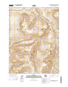
2015 · Baird Mountains D-3 SW
USGS Topo · 1:25,000
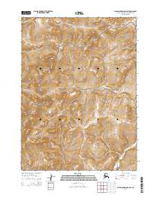
2015 · Baird Mountains D-2 SW
USGS Topo · 1:25,000