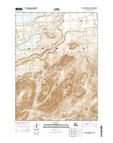
2015 Map of Baird Mountains D-6 NE
USGS Topo · Published 2015About this map
The Noatak River carves a broad valley through the center of this terrain, marking a significant corridor within the Noatak National Preserve. This landscape is characterized by its high-latitude aquatic systems, including the large waters of Lake Narvakrak in the northwest and Tulugak Lake further south. The proximity of these lakes to the river suggests a complex glacial or alluvial history where drainage patterns have shifted over time, creating a mosaic of tundra and riparian zones.
Find a feature on this map
10 named features on this map. Tap any name to fly to it.
Don’t see what you’re looking for? This feature index may not catch every label — zoom into the map to look around manually.
Map Details
Editions of this 2015 Baird Mountains D-6 NE Map
This is the sole edition of this map. No revisions or reprints were ever made.
Other maps of this area

1951 · Baird Mountains
USGS Topo · 1:250,000

1951 · Misheguk Mountain
USGS Topo · 1:250,000

1955 · Baird Mountains D-6
USGS Topo · 1:63,360

1955 · Baird Mountains D-5
USGS Topo · 1:63,360

1955 · Misheguk Mountain A-5
USGS Topo · 1:63,360

1956 · Misheguk Mountain
USGS Topo · 1:250,000

1956 · Baird Mountains
USGS Topo · 1:250,000

1965 · Baird Mountains
USGS Topo · 1:250,000
2015 · Baird Mountains D-6 NW
USGS Topo · 1:25,000
2015 · Misheguk Mountain A-5 SE
USGS Topo · 1:25,000