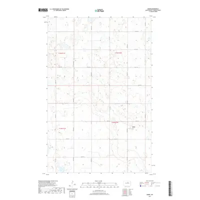
2017 Map of Baker
USGS Topo · Published 2017About this map
Baker stands as the primary community in this portion of Benson County, situated within a landscape defined by North Dakota's glacial prairie potholes and seasonal wetlands. The settlement is positioned along a grid of rural roads including 52nd St Ne and 51st St Ne, reflecting the systematic township and range organization typical of the Northern Plains.
Find a feature on this map
15 named features on this map. Tap any name to fly to it.
Don’t see what you’re looking for? This feature index may not catch every label — zoom into the map to look around manually.
Map Details
Editions of this 2017 Baker Map
This is the sole edition of this map. No revisions or reprints were ever made.
Other maps of this area

1953 · Devils Lake
USGS Topo · 1:250,000

1956 · Devils Lake
USGS Topo · 1:250,000

1958 · Fillmore
USGS Topo · 1:24,000

1958 · Baker
USGS Topo · 1:24,000
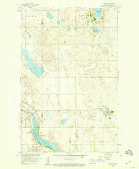
1958 · Esmond
USGS Topo · 1:24,000

1958 · Harlow
USGS Topo · 1:24,000
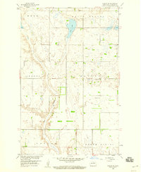
1958 · Harlow SE
USGS Topo · 1:24,000
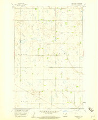
1958 · Harlow SW
USGS Topo · 1:24,000

1971 · Knox
USGS Topo · 1:24,000

1971 · York
USGS Topo · 1:24,000