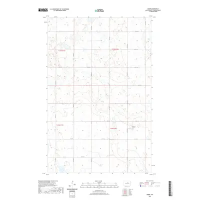
2020 Map of Baker
USGS Topo · Published 2020About this map
Baker is the primary settlement on this Benson County landscape, situated amidst a dense network of glacial prairie potholes and wetlands. The terrain is defined by undulating contours and numerous unnamed depressions typical of the region's geography, with Twin Lakes serving as a significant hydrological feature in the northeast. The rural infrastructure follows a rigid section line grid, with arterial routes like Slotto Rd and a series of numbered roads including 57th St Ne and 50th St Ne providing access through the townships of T155N and T154N. This survey highlights the intersection of agricultural land management and the natural water-retaining basins that characterize the North Dakota plains.
Find a feature on this map
21 named features on this map. Tap any name to fly to it.
Don’t see what you’re looking for? This feature index may not catch every label — zoom into the map to look around manually.
Map Details
Editions of this 2020 Baker Map
This is the sole edition of this map. No revisions or reprints were ever made.
Other maps of this area

1953 · Devils Lake
USGS Topo · 1:250,000

1956 · Devils Lake
USGS Topo · 1:250,000

1958 · Fillmore
USGS Topo · 1:24,000

1958 · Baker
USGS Topo · 1:24,000
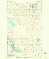
1958 · Esmond
USGS Topo · 1:24,000

1958 · Harlow
USGS Topo · 1:24,000
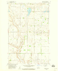
1958 · Harlow SE
USGS Topo · 1:24,000
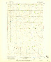
1958 · Harlow SW
USGS Topo · 1:24,000

1971 · Knox
USGS Topo · 1:24,000

1971 · York
USGS Topo · 1:24,000