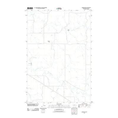
2011 Map of Baker NW
USGS Topo · Published 2011About this map
Pennel Creek and Sandstone Creek dominate this 2011 survey of Fallon County, Montana, carving out the drainage patterns of the northern Great Plains. The landscape is defined by local water management and agricultural infrastructure, evidenced by named features such as Thielen Number 1 Dam and the H A Wyrick Number 1 Dam. These small-scale water control points are essential to the regional ranching and farming operations, often bearing the names of the local families who established them. The map traces the rural transition into the 21st century, where section lines and local thoroughfares like Pennel Rd and Road 644 provide the primary framework for movement across the open terrain. The confluence of Timber Creek and the South Fork Sandstone Creek in the south highlights the intricate network of seasonal waterways that sustain this part of the state.
Find a feature on this map
10 named features on this map. Tap any name to fly to it.
Don’t see what you’re looking for? This feature index may not catch every label — zoom into the map to look around manually.
Map Details
Editions of this 2011 Baker NW Map
This is the sole edition of this map. No revisions or reprints were ever made.
Other maps of this area

1953 · Miles City
USGS Topo · 1:250,000

1957 · Miles City
USGS Topo · 1:250,000

1958 · Miles City
USGS Topo · 1:250,000

1981 · Baker
USGS Topo · 1:100,000

1981 · Baker NE
USGS Topo · 1:24,000

1981 · Baker
USGS Topo · 1:24,000

1981 · South Sandstone Reservoir
USGS Topo · 1:24,000

1981 · Lawrence Creek East
USGS Topo · 1:24,000

1981 · Lawrence Creek West
USGS Topo · 1:24,000

1981 · Little Pine Creek
USGS Topo · 1:24,000