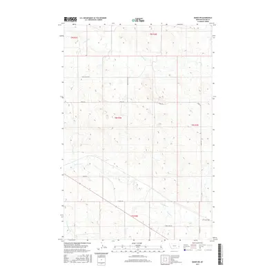
2017 Map of Baker NW
USGS Topo · Published 2017About this map
Pennel Cr and its various tributaries define the drainage patterns across this section of Fallon County, where the landscape is characterized by the winding headwaters of several key creeks. The convergence of Sandstone Cr, Timber Cr, and the S Fork Sandstone Cr in the southern portion of the area suggests a complex watershed that has long influenced the placement of local transport routes. The survey reveals a sparse but deliberate network of rural roads that follow the natural topography, with many corridors bearing descriptive or functional names. For local researchers, the route of Burnt Station Rd and the presence of Tonquin Trl offer clues into the early movement through this prairie environment. The rectilinear organization of the land, visible through township and range boundaries like t8n r58e, highlights the intersection of natural watercourses with the formal grid of the American West.
Find a feature on this map
17 named features on this map. Tap any name to fly to it.
Don’t see what you’re looking for? This feature index may not catch every label — zoom into the map to look around manually.
Map Details
Editions of this 2017 Baker NW Map
This is the sole edition of this map. No revisions or reprints were ever made.
Other maps of this area

1953 · Miles City
USGS Topo · 1:250,000

1957 · Miles City
USGS Topo · 1:250,000

1958 · Miles City
USGS Topo · 1:250,000

1981 · Baker
USGS Topo · 1:100,000

1981 · Baker NE
USGS Topo · 1:24,000

1981 · Baker
USGS Topo · 1:24,000

1981 · South Sandstone Reservoir
USGS Topo · 1:24,000

1981 · Lawrence Creek East
USGS Topo · 1:24,000

1981 · Lawrence Creek West
USGS Topo · 1:24,000

1981 · Little Pine Creek
USGS Topo · 1:24,000